
Commercial Drone Roof Inspection in Sunrise, FL
Commercial Drone Roof Inspection
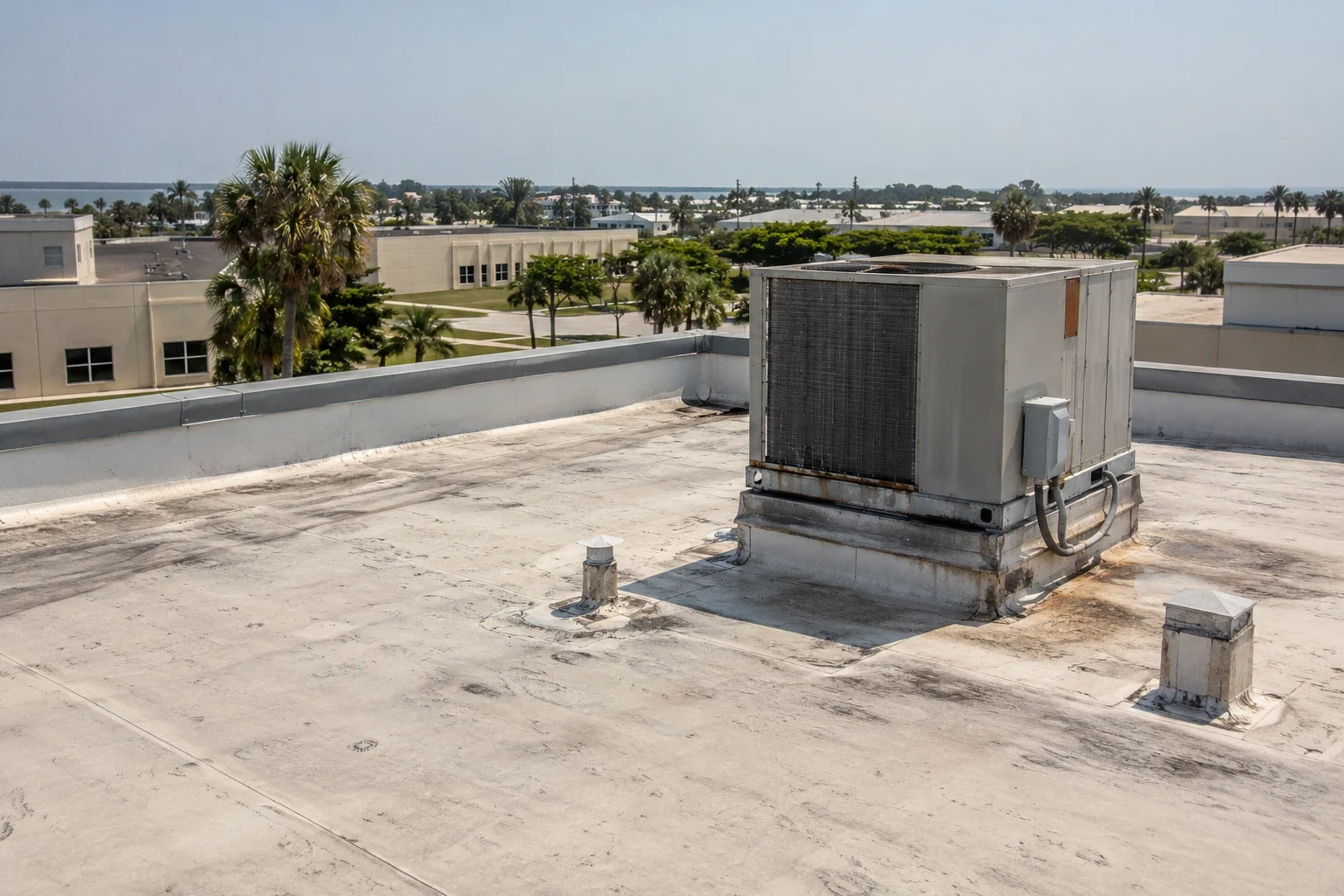
Broad office and retail roofs in Sunrise, FL can include equipment fields, tall parapets, and areas that are difficult to view safely from a ladder or hatch. Drone imaging gives the facility director an overhead record of visible surface conditions, drainage paths, and rooftop obstructions. Aerial images show surface geometry and visible obstructions; hands-on inspection checks seam bonds and flashing conditions, while testing evaluates concealed moisture. Sawgrass International Corporate Park contains corporate offices, technology, financial, and healthcare uses; the city's western Business and Entertainment District includes regional retail, an arena, corporate space, and mixed use. Those settings can produce large roof maps and operating constraints. We plan the flight around the building, capture the agreed roof zones, and label observations that need close inspection. The report should show what the imagery can establish and which question requires a person on the roof.
Commercial Roofing Services in Sunrise, FL
Capture commercial roof conditions in Sunrise, FL with drone imaging for broad or hard-to-access areas, then map visible findings for hands-on follow-up.
Coverage: See the full roof layout
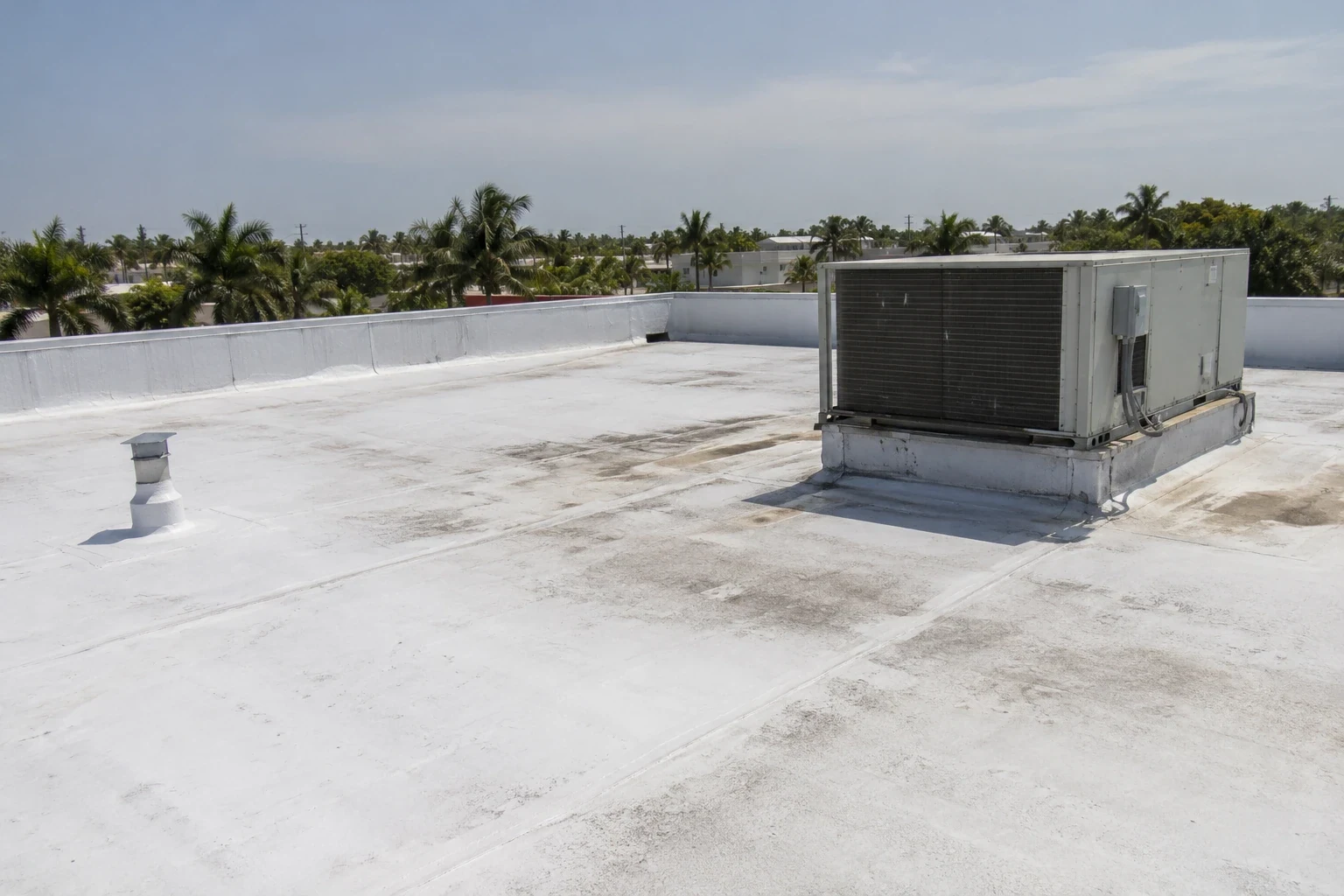
An overhead image can help locate equipment clusters, skylights, access points, standing water patterns, and changes between roof sections. We use a roof plan when available and reconcile image landmarks with zone labels. A clear coverage map helps the manager direct a follow-up visit to the right section rather than relying on a broad description. Flight conditions, obstructions, shadows, and image angle affect what can be seen, so the report notes gaps and areas that need another view.
Coverage planning starts with the question the owner wants answered. We set a flight path that records edges, field zones, equipment clusters, drains, and roof transitions at useful angles. A wide overview gives context; selected closer views can show a suspicious seam, loose material, or visible obstruction. We retain orientation and zone labels so a reader can locate each image on the building. If cloud cover, glare, wind, or blocked sightlines reduce image quality, the report identifies those limits and recommends another view or a direct inspection rather than stretching the image beyond what it shows.
At Sawgrass Technology Park, office and technology properties benefit from image sets labeled separately by structure, access point, and roof zone. A drone survey can help organize buildings and roof sections across a property portfolio, while each structure still needs its own image set and access instructions. The output may support a mapped roof condition report or help plan a hands-on inspection where an image shows a suspected detail.
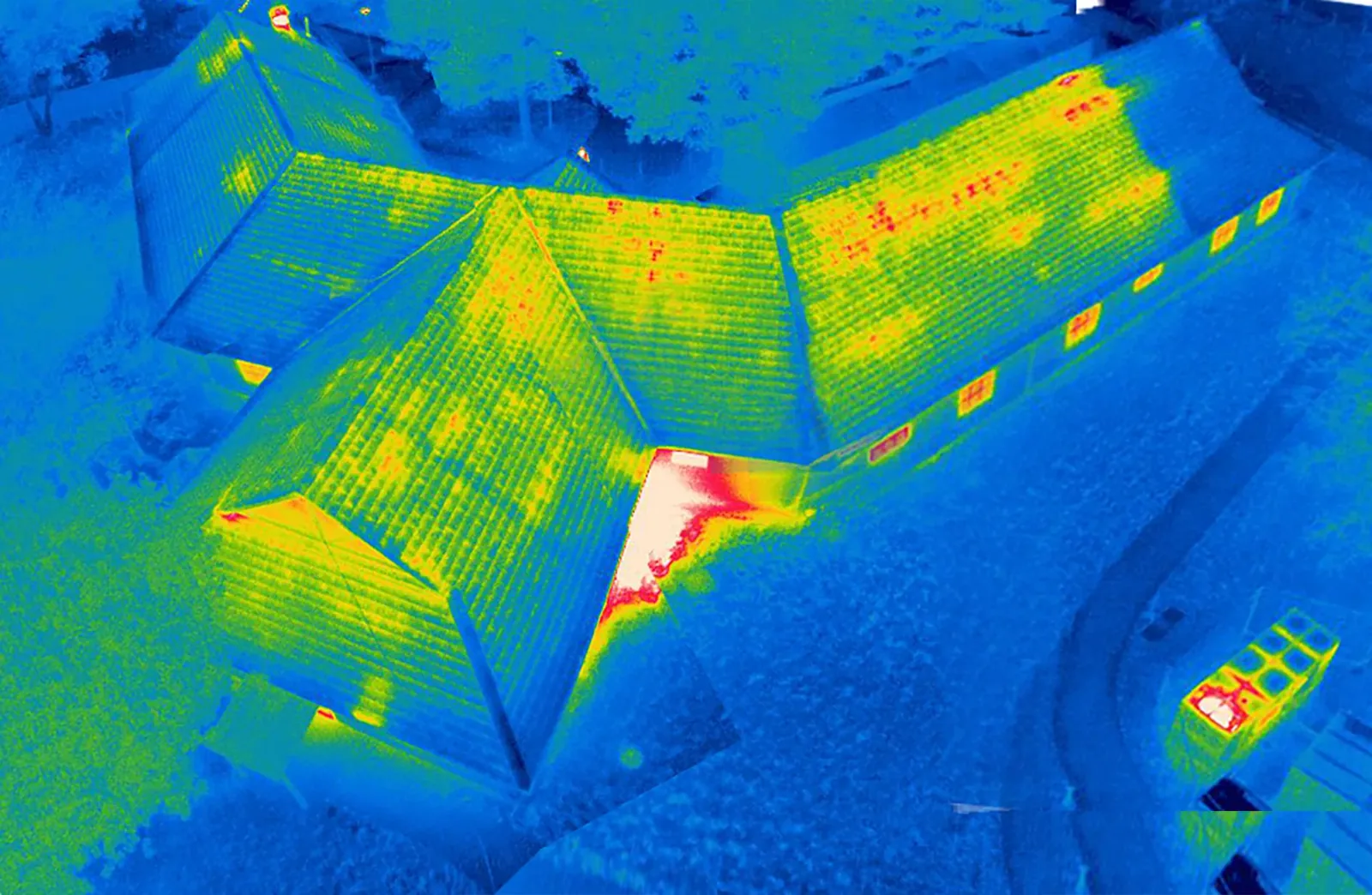
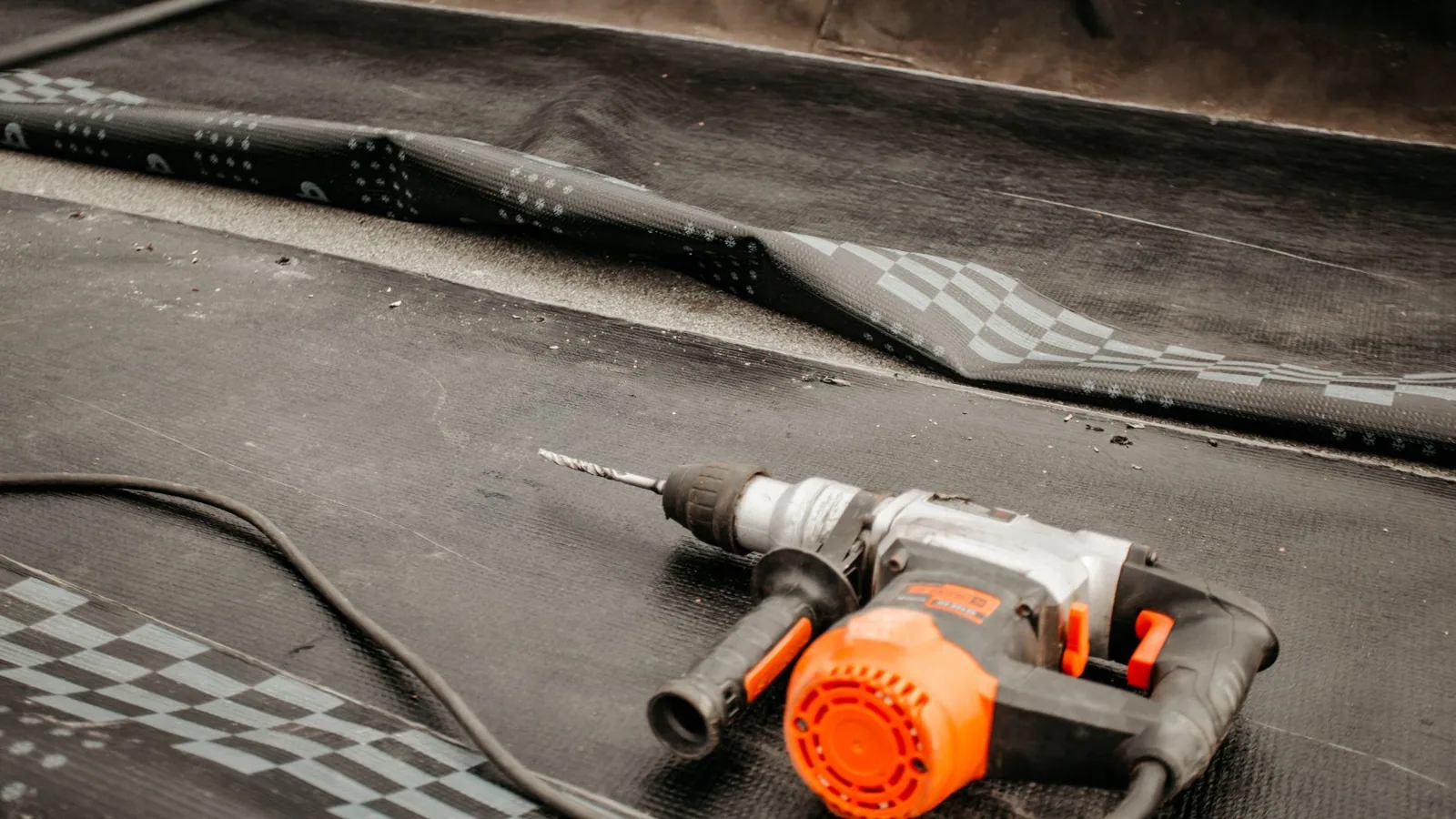
Visible: What imagery can show
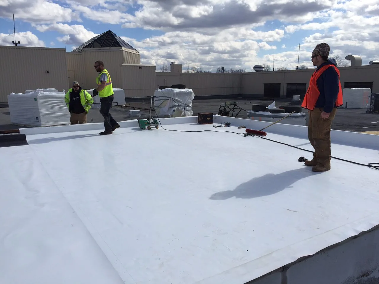
Drone images can document surface discoloration, loose materials, visible ponding, debris, rooftop equipment placement, and apparent changes around edges or penetrations. Resolution and angle determine whether a small defect can be distinguished. We identify the date and conditions, orient the roof map, and note any area obscured by equipment or structure. We compare visible color and texture with product records and exposed details, then test when membrane type or moisture condition remains uncertain.
Sunrise's business parks span distribution, manufacturing, corporate, healthcare, and technology uses. Imaging can show where equipment clusters and roof transitions sit; we label each view by building and zone, then schedule close inspection of the details that affect repair. Where the image suggests water near an outlet, a drainage inspection can verify the bowl, overflow, and surrounding membrane. A perimeter review can examine edge metal and coping close up.
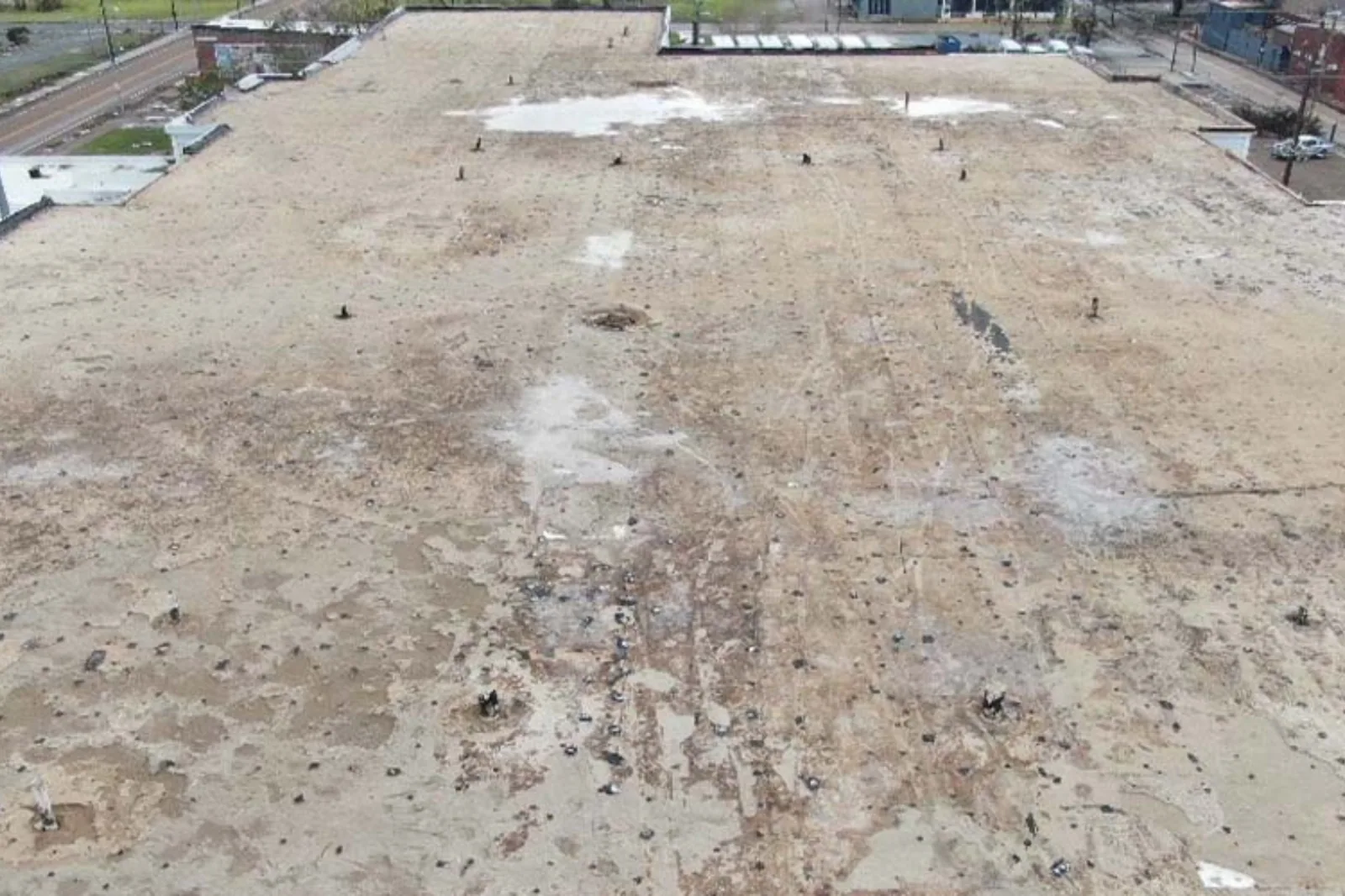
Testing: Resolve hidden conditions
A photograph cannot show whether insulation beneath the membrane is wet, whether a seam is bonded, or whether a fastener reaches the deck. Reflections, shade, and recent rain can make surface patterns misleading. We separate visual observations from conclusions and recommend a focused follow-up when the image leaves an important question open. Infrared surveys and test cuts are different tools, each with conditions and limits.
Sunrise's hot, humid season and frequent summer storms make capture timing part of the image plan. After rainfall, an overhead view can locate visible ponding or debris; a follow-up visit checks how water drains and whether an outlet or slope needs attention. A moisture survey can investigate suspected wet areas, while a leak investigation follows an active water path. We state which next step fits the evidence instead of treating imagery as a diagnosis.
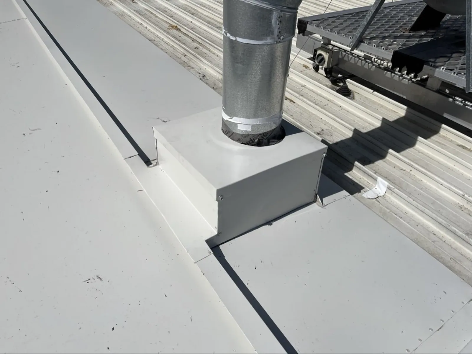
Planning: Coordinate the building below
Before a flight, we confirm the site contact, roof areas to capture, visible obstacles, access points, operating hours, and any sensitive equipment or activity below. A facility with a loading yard, patient access, or active event schedule may need a different timing plan from a low-occupancy office. The flight route should avoid disrupting operations and should produce views that help answer the facility director's question. We agree on image labels and report format before capture.
Retail, arena, office, and mixed-use properties fill the western Business and Entertainment District. The facility contact can coordinate the capture window, entry route, and activity below so imaging fits the site's operating schedule. The owner can use a multi-building roof program to keep image records organized, and a district service visit can combine aerial context with a planned roof walk where access allows.
Deliverable: Turn images into decisions
The image package should include the capture date, roof orientation, labeled zones, key visible conditions, and items requiring close inspection. We identify incomplete coverage and mark where parapets, canopies, equipment, or shadow limit the view. If the building has prior inspection photos, the manager can compare similar angles to see visible change, while remembering that different weather and image conditions affect comparison. For a useful comparison, we note the roof zone, viewing direction, and visible reference points such as equipment curbs or parapet corners. The facility director can then distinguish a shifted object, new debris, or a changed surface pattern from differences in camera height and lighting. Where images show a possible drainage issue, a ground-level or roof-level check should confirm whether an outlet is obstructed and whether water remained after the rain passed. A labeled overview also helps estimate which roof areas need a closer visit first, so the facility director can prioritize access and tenant notice before maintenance work is scheduled.
We use aerial images to plan hands-on follow-up and measure repair quantities from roof-level inspection. If images show a possible opening, the work order can direct an inspector to that seam, curb, or drain. A repair scope follows confirmed conditions, and a maintenance walk can add accessible areas to the next routine route. Send roof plans, prior images, reported leaks, access constraints, and the decision the survey should support.
Frequently Asked Questions
Can drone images confirm a roof leak?
They can show visible features that help target an inspection, but images do not prove the hidden entry path. We compare the suspected area with interior reports and verify the detail on the roof.
Will a drone survey replace a hands-on inspection?
No. Aerial coverage helps view broad or hard-to-reach areas. Seams, flashing, attachment, and concealed layers require close inspection or testing when those questions affect the scope.
Can imaging show wet insulation?
Visible imagery shows surface conditions. Infrared patterns can help target moisture testing under suitable conditions, and a test cut identifies layers at a selected location.
What should the report include?
The report should orient and label images, list visible observations, identify coverage limits, and mark details for hands-on review. Each image should connect to a roof zone or follow-up action. If several buildings are included, each structure receives a separate orientation and zone key.
What information is needed before a drone visit?
Provide the roof plan, access contact, areas of concern, operating hours, site restrictions, and prior imagery if available. We use those details to plan useful coverage without disrupting building activity.
Plan a useful roof image set
Share roof plans, prior images, reported leak areas, site restrictions, and the decision you need to make. We will define the image coverage and any follow-up inspection.
Call 555-555-5555 or request a roof assessment.